The County Map Before the County Map
The county map before the county map reveals how written descriptions, local names and administrative records shaped the history behind a familiar outline.
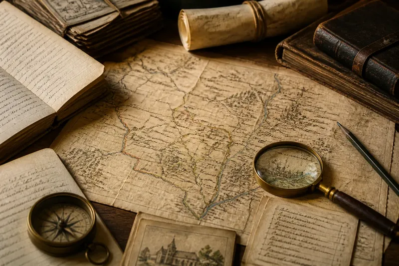
What came before the county map before the county map? In many places, it was not one neat set of instructions but a mix of administrative records, place names and practical knowledge whose form varied by time and jurisdiction. A mapmaker’s task was to bring some of that material together, not to reproduce a single universal system.
Administrative records came in different forms
Counties and comparable local divisions did not all develop through the same process. Their records reflect the institutions and needs of particular places and periods. A surviving map can therefore be understood only in relation to its own setting, rather than as evidence of a standard sequence followed everywhere.
In one locality, a written description might record a jurisdiction’s reach. Elsewhere, officials might rely on a mixture of documents, customary practice and recognisable features. The record that survives may also be incomplete. It can show what one office needed to know without capturing how every resident understood the area.
That distinction helps prevent a common mistake: treating a later map as the original administrative definition. A map can be an important record of how territory was represented at a particular moment, while drawing on decisions and knowledge assembled earlier.
Local names connected documents to places
Place names helped readers identify settlements, rivers, roads and other features. But names could vary between documents and across time. A spelling in a map may reflect a cartographer’s source or convention, rather than establish the only historically valid form.
Names can also be ambiguous. Two places may share a name, or a name may refer to a wider area than the point where a map label appears. To interpret one, compare its neighbours: nearby settlements, waterways, roads and administrative units can help narrow down the intended location.
A map’s omissions matter as well. The maker chose which names to include and how much space to give them. A map focused on administration may label a town or division while leaving out paths familiar to local residents.
Maps combined evidence with cartographic choices
Turning written descriptions into a drawn image required decisions. A phrase such as “by the river” needs a reader to identify which watercourse the source meant. A mapmaker might use other records or local knowledge to make that connection, but the surviving image may not reveal every step.
Imagine a researcher comparing a county map with a parish register and a road description. The register names a settlement, while the road description places it near a crossing. By matching those clues to the map’s neighbouring labels, the researcher can form a reasoned identification. If two settlements remain plausible, the responsible result is to keep the identification uncertain rather than force a choice.
This is why a crisp drawn line should not be mistaken for certainty about every point. The line may present a coherent picture of evidence that was partial, locally understood or expressed in terms that do not translate neatly into modern cartographic conventions.
Copies and revisions need their own context
A later map may reproduce information from an earlier one, revise it for a different purpose or incorporate additional records. Its publication date does not by itself tell you when the underlying description originated. Nor does a difference between two maps necessarily mean the landscape changed; the maps may reflect different sources, priorities or methods of representation.
When comparing copies, note what actually differs. A changed label might reflect spelling or editorial preference. A changed line might follow a revised administrative decision, a new source or a redrawing choice. Where the map’s own notes or accompanying records explain the change, use those before drawing conclusions from the image alone.
How should you read an old county map?
Is the earliest surviving map the first county map?
Not necessarily. It may be the oldest map that has survived or been located, while records or decisions describing the area are older. Treat “earliest known map” as a statement about the surviving evidence, not proof that no earlier representation existed.
Why might a map use a different place name?
Spelling and naming conventions can differ between sources, and a label may reflect the mapmaker’s material or intended audience. Compare the name with nearby features and other local records before assuming it refers to a different place.
Where can you look for supporting records?
Local archives, county record offices and online catalogue collections may hold maps, administrative papers and parish or settlement records. Check the catalogue description and date, since similarly titled items can relate to different places or purposes.
What should you do when the evidence conflicts?
Record which sources disagree and what each was made to describe. If they do not settle the location, state the uncertainty and avoid treating one map as decisive without further evidence.
Start with one label and trace its evidence
The county map before the county map is not a single missing document. It is the varied local record and knowledge that may have informed later representations, shaped by the needs of particular institutions and periods.
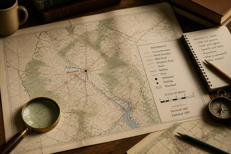
For a useful first enquiry, choose one label and note its spelling, nearby features and the map’s date and stated purpose. Then compare it with a relevant local record. That focused comparison can show whether the map preserves an older name, applies a later convention or leaves a question that the available evidence cannot yet settle.