Why County Boundaries Rarely Follow a Single Neat Line
Learn how to read county boundaries by tracing their bends and junctions, then use local records to distinguish visible features from administrative decisions.
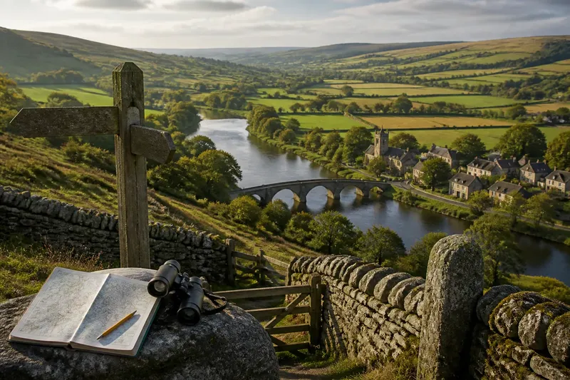
Why does a county boundary follow a river, then cut across a valley? To understand a county boundary, start with its junctions and turns: these can show where a line meets a road, settlement or neighbouring jurisdiction. A map can reveal the shape, but not necessarily the reason for it.
Read the border as a series of local decisions rather than one continuous story. At each turn, ask what changed on the ground or in administration, and what kind of record might describe that change. This keeps a visible feature from being mistaken for a complete explanation.
Read junctions as clues to administration
Where a county line meets a parish boundary, road, bridge or settlement edge, note the exact point and what lies nearby. A junction can be more informative than a long, uncomplicated stretch because it marks a choice: the line continues, turns, or connects with another division.
On a current map, use a pencil or a digital map tool to mark each turn and junction. Write down observable details, such as “turns beside the bridge” or “meets parish edge at the village boundary”. Keep these notes separate from explanations. “The line turns beside the bridge” is visible evidence; “the bridge determined the county line” is a claim that needs supporting records.
Look at the places the line includes or separates. A boundary may leave a settlement on one side, divide its surrounding land, or run through an area that is now built up. These patterns can suggest questions about jurisdiction, but they do not by themselves establish the reason for the line.
Distinguish a geographic edge from an administrative one
A river, ridge or valley can offer a clear feature to describe. But county boundaries are administrative lines, and their course may reflect agreements, inherited divisions or later decisions as well as terrain. A boundary may follow a river in one place and cross open land elsewhere.
Notice how the line relates to features without treating proximity as proof. If it meets a river at a right angle, for instance, record that crossing rather than assuming the river guided the whole course. A road beside the boundary might have been built along an existing division, or the two may simply share a route.
Imagine you are studying a boundary that runs beside a bridge, then turns away from the river near a village. You mark the bridge, the turn and the village edge on a current map, then check a parish description held by the local archive. If the description names the same turn, you have a written clue about the boundary’s course; if it does not, the reason for the bend remains open. Either result helps focus the next question without turning a nearby feature into a cause.
Use records to identify who held authority
Local records can help distinguish a physical feature from an administrative decision. Depending on the place and period, useful sources may include parish boundary descriptions, local government documents, estate papers, court records or maps attached to official proceedings. A county archive or local studies library can help identify relevant collections and explain how to consult them.
Start with the record type that matches your question. If you want to know which authority administered a settlement, look for material about jurisdiction or local government. If you want to know how a boundary was described, seek a boundary description or a record of an agreement. A county history or gazetteer may help identify older place names, but check its account against the underlying record where possible.
Keep a short evidence note for each source: its date, who created it, what area it covers and what it actually says. This makes it easier to distinguish a record of a decision from a later map that merely depicts the result. If a source uses an obsolete place name, note that uncertainty rather than assuming it refers to the nearest modern feature.
How can you investigate a confusing county boundary?
What does it mean when a county line meets a parish boundary?
It means two administrative lines meet at that point, but the junction alone does not show which came first or why they were aligned. Check parish descriptions and relevant local government records for evidence of how each division was defined.
Does a bridge explain why a boundary turns?
Not by itself. The bridge may be a useful landmark, or the line may have been described in relation to it; look for a written description that names the crossing or nearby place.
Which local records can explain a boundary?
Boundary descriptions, parish records and local government documents may address different parts of the question. Ask an archive or local studies librarian which collections cover the place and period you are investigating.
What if a record and a current map seem to disagree?
Check the record’s date, its place names and the area it describes before deciding there is a contradiction. An old name or a changed feature may explain the mismatch, while a genuine administrative alteration may require further records.
Make a careful decision from the evidence
For each stretch, record what you can see, what a source states and what remains an interpretation. Use precise wording: “the line meets the parish edge at the bridge” is different from “the bridge set the county boundary”. This distinction makes it clear whether your evidence supports a description, a likely explanation or a historical claim.
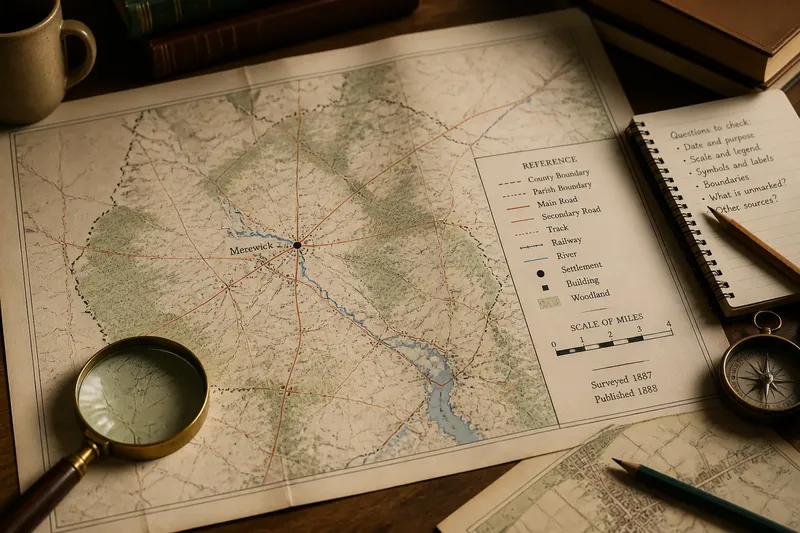
- Check the map’s date and type; if it identifies the boundary’s source, use it as a dated reference, but if its source is unclear, treat it as a locator and seek a better-documented map.
- Check whether a junction is named in a boundary description; if the place matches, note the record as support for that turn, but if it does not, leave the turn unexplained and verify the historical place name.
- Check whether a parish edge meets the county line; if a local record describes both, compare their wording, but if only one is described, do not assume the other inherited its course.
- Check whether a road or bridge appears in an official record; if it is named as a boundary marker, record that link, but if it appears only on a map, describe it as nearby rather than causal.
- Check whether the source names the same settlement and area; if it does, use it for that stretch, but if its coverage is uncertain, ask the archive or library to help identify the place.
- Check whether the apparent difference could come from an old place name or a changed river course; if so, note the uncertainty and seek a record that clarifies the location, but if not, investigate whether an administrative alteration occurred.
For questions about property, legal rights or official jurisdiction, a general map and local-history record are not enough. Ask the relevant authority or a qualified professional. For historical interpretation, county boundaries are easiest to explain when each junction is tied to a source that actually addresses it; the map’s shape can show where to look, while the record determines how far an explanation can go.